This article was written by Lynette Harris, Utah State University
The first global survey to assess land use planners’ and coastal managers’ use of sea-level rise (SLR) projections in planning for crucial coastal adaptation finds almost universal recognition of the threats of SLR and significant work to incorporate projections into local decision-making. However, researchers also found a wide array of future projections in use and no global standard for how they are applied.
The study—conducted by a 29-author team led by Daniella Hirschfeld, assistant professor of environmental planning and climate adaptation at Utah State University, and David Behar, climate program director for the San Francisco Public Utilities Commission—suggests a need to build better bridges between scientists and coastal managers. Results of the study were published in Nature – Communications Earth & Environment, April 3, 2023.
The study distributed the survey via a confidential questionnaire to coastal management practitioners in every inhabited continent and provided the questionnaire in English, Arabic, Chinese, French, Hebrew, Japanese, Korean, Portuguese, and Spanish. The questionnaire asked for specific time horizons and projection information currently used in coastal planning for areas under their jurisdiction, and also about the science behind the SLR projections that are used in making policy and how practitioners apply those projections.
Two-hundred fifty-three practitioners engaged in coastal management from 49 countries provided complete answers to the survey. The study found that 72% of survey respondents reported using SLR projections in their coastal planning processes and that generally, developing countries have lower levels of using SLR projection data. With no global standard for the use of SLR projections, researchers found that in locations using a standard data structure, 53% are planning using a single projection. The remainder use multiple projections, with 13% considering an unlikely high-end scenario.
Hirschfeld said the lack of planning in many places is alarming, and noted the injustice in that many developing countries will be among the places hardest hit by SLR and other results of climate change, while activities in industrialized nations accelerate and amplify those changes.

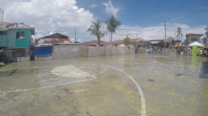
Photo Credit: Racing the King Tide
Bronwyn Goble, a co-author and senior scientist at the Oceanographic Research Institute in Durban, South Africa, said, “The key is for policymakers to understand that planning for sea-level rise and climate change is as much about the now as it is for future needs. Poor planning and decision making will affect lives and livelihoods.”
The research provides new insights about current planning practices and can inform ongoing efforts to apply the science that is essential in promoting effective adaptation.
Co-author Robert Nicholls, director of the Tyndall Centre for Climate Change Research and professor at the University of East Anglia, observed that it is great that sea-level rise is being widely considered, but concerning that many users are considering just a single projection of SLR change.
“Future sea-level rise is uncertain, especially after 2050,” Nicholls said. “It is important that a range of scenarios are considered that encompass that uncertainty.”
Hirschfeld noted that coastal managers and planners may recognize a wide range of problems that are highly or less likely due to SLR, but policymakers and politicians are typically uncomfortable with uncertainty. Echoing Nicholls’ call to consider a range of scenarios, Hirschfeld said plans and policy actions that are triggered by specific changes in SLR can guide better decision-making and reduce the chances that money and efforts are invested in adaptation and mitigation efforts that are not effective. Those may include building sea walls and other infrastructure, prohibiting development in areas that are or will be directly affected, or moving people out of some communities.
Successful coastal adaptation requires robust integration of science and policy and well-designed climate services, both built on the usability of scientific information. The researchers note that building and designing these systems requires an understanding of how to make science-based decisions in the context of increasing uncertainties that are part of long-term projections of SLR. The findings also highlight the need for policymakers to understand the importance of using SLR projections in planning for sea-level rise.
“The translation of climate science to the practitioner environment and policy is difficult work,” Behar said. “This research provides hard evidence that both the science and practitioner communities need to do a much better job of it.”

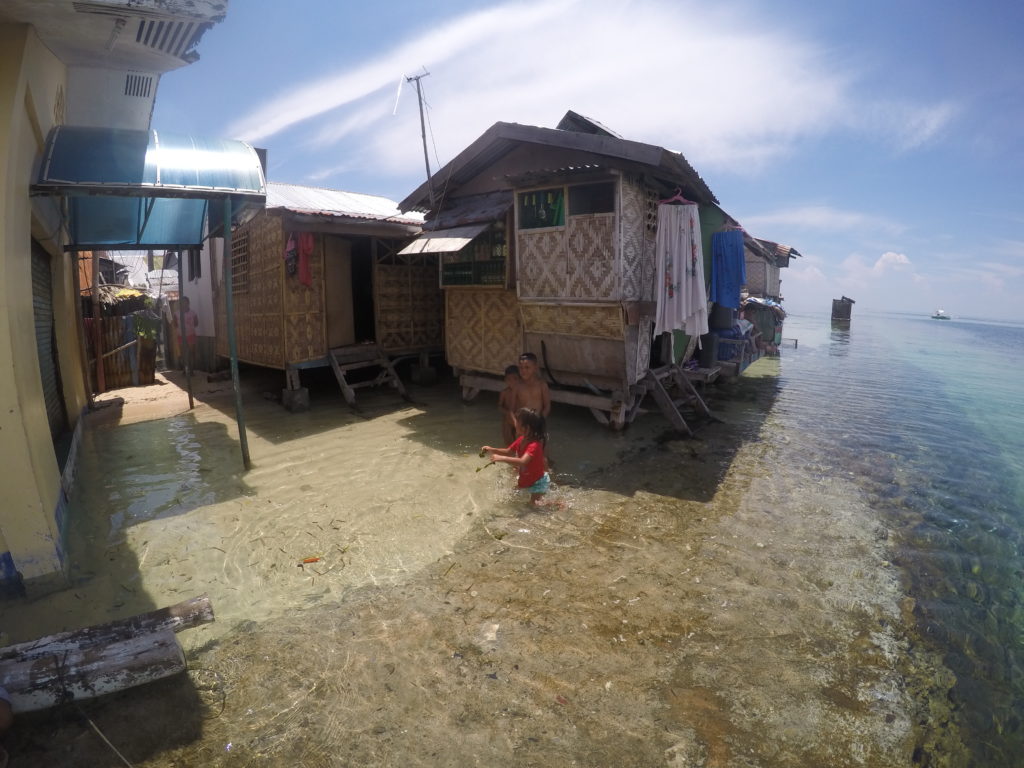
Photo Credit: Racing the King Tide
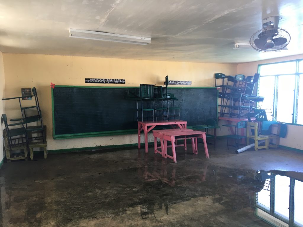
Photos courtesy of Racing the King Tide, an international research project focused on sea-level rise in Philippine island communities. Learn more about the research, and view the documentary film at http://racingthekingtide.com/
Contacts: Daniella Hirschfeld, Utah State University, Daniella.hirschfeld@usu.edu, 435-797-5725;
David Behar, San Francisco Public Utilities Commission, dbehar@sfwater.org
Writer: Lynnette Harris, Lynnette.harris@usu.edu, 435-797-2189 (office) 435-764-6936 (cell)

Leave a Reply